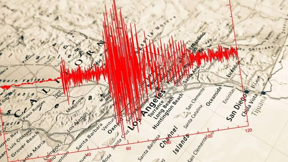
A 4.4 magnitude earthquake occurred in the Los Angeles region on Monday afternoon at 12:20 p.m. PT , according to the US Geological Survey. The quake had an initial reported intensity of 4.7 but was since revised down to 4.4.
The Los Angeles Police Department posted on social media: Significant earthquake just felt in the Los Angeles area. Reminder, please use 911 only for emergencies. Be prepared for aftershocks.
According to the U.S. Geological Survey, the epicenter was located near the city’s Highland Park neighborhood, a few miles north of downtown Los Angeles. No injuries were reported and no major infrastructure damage was found, the Los Angeles Fire Department said. The shallow quake was only 7.5 miles deep and directly under the populated areas of Los Angeles, so was likely felt widely despite the relatively modest intensity.
Cal Tech officials said in a statement that the quake is believed to be along the lower Elysian Park Fault, but a number of faults are in the area, and added that there’s less than a 10% chance of a 5.0 magnitude or higher aftershock over the next week. The 4.4 earthquake was preceded by two small earthquakes — 1.7 magnitude and 1.3 magnitude — over the last day, according to the U.S. Geological Survey.
The earthquake came on the first day of school for students at the Los Angeles Unified School District, the second-largest school district in the country. The Los Angeles Fire Department was sent into earthquake mode, with crews at 106 fire stations doing surveys of their districts. There were no immediate reports of injuries or structural damage, the department said.
Editorial credit: TonelloPhotography / Shutterstock.com
